
por admin | 1 septiembre, 2023
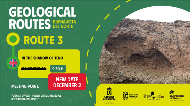
RUTA 3. A LA SOMBRA DE TENO
Ruta guiada: Fundación Canaria Telesforo Bravo-Juan Coello.
DETALLES
- Dificultad: Media.
- Duración: 3 h. y 30 min. aprox.
- Lineal. Al finalizar, incluye transporte de regreso a la Plaza de Los Remedios.
- Distancia: 4,5 km.
Recomendaciones:
- Ropa deportiva.
- Calzado deportivo.
- Gorra o sombrero.
- Bastones.
- Protector solar.
- Prenda de abrigo ligera.
- Agua y comida ligera para el recorrido.
Descripción del itinerario:
Este itinerario es una muestra representativa de un ecosistema de costa con unos impresionantes valores geológicos. Durante el recorrido podrán observarse elementos muy característicos de la costa de Buenavista del Norte: desde disyunciones columnares hasta formaciones generadas por la erosión de la sal, flores o rosas de piedra. Además de depósitos provocados por erupciones muy explosivas y depósitos de tsunamis generados por el deslizamiento gravitacional del valle de La Guancha a Icod, o lugares tan emblemáticos como el rayo, generado por la erosión marina.
En esta ruta se visitarán los siguientes hitos:
- Parada 1. Blast del Barranco de Triana.
- Parada 2. Playa de Los Barqueros.
- Parada 3. Bola de acreción.
- Parada 4. Salinas de la Tablada.
- Parada 5. Playa de Las Arenas.
- Parada 6. Las Estacas (Mirador de la Punta de las Arenas).
- Parada 7. Charco de las Mujeres.
- Parada 8. Playa del Fraile.
Te invitamos a participar de esta iniciativa promovida por el área de turismo del Ayuntamiento de Buenavista del Norte, que cuenta con el apoyo económico de la Consejería de Turismo, Industria y Comercio del Gobierno de Canarias y la coordinación técnica de la Fundación Canaria Telesforo Bravo-Juan Coello.
por admin | 1 septiembre, 2023
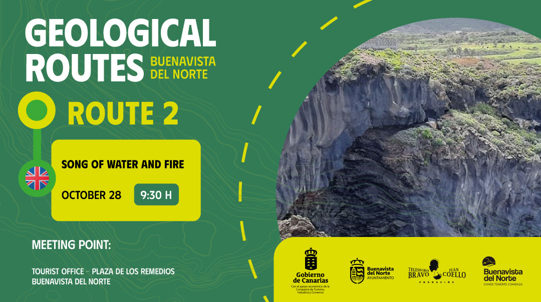
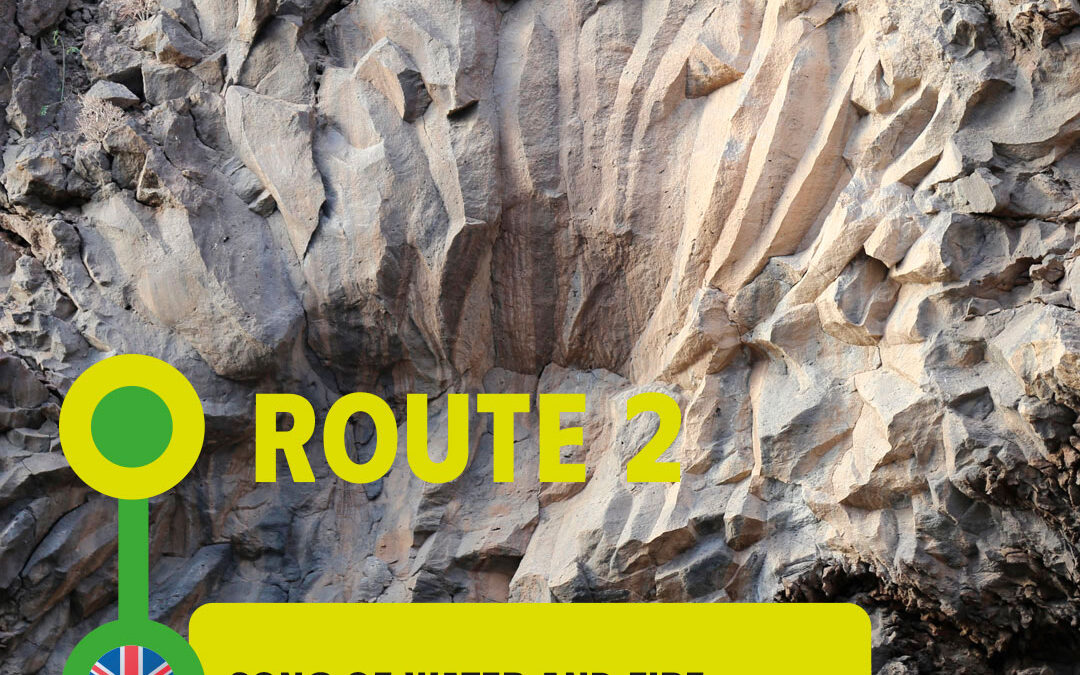
ROUTE 2. SONG OF WATER AND FIRE
Guided tour: Fundación Canaria Telesforo Bravo-Juan Coello.
DETAILS
- Difficulty: Medium.
- Duration: 3 h.
- Circular.
- Distance: 4,68 km.
Recommendations:
- Sportswear.
- Sports shoes.
- Cap or hat.
- Walking sticks.
- Sunscreen.
- Light coat.
- Water and light food for the route.
Description of the itinerary:
This itinerary is a representative sample of a coastal ecosystem with amazing geological values. During the route you will be able to admire characteristic elements of the coast of Buenavista del Norte: from columnar disjunctions to formations generated by the erosion of salt or stone roses. In addition to deposits caused by highly explosive eruptions and tsunami deposits generated by the gravitational landslide of La Guancha valley to Icod, or places as emblematic as the lightning, generated by sea erosion.
The following landmarks will be visited on this route:
- Stop 1. Blanca Gil Cove.
- Stop 2. Badlands of Hoya de las Campanas.
- Stop 3. Roque Pajero.
- Stop 4. The plain of Puerto.
We invite you to take part in this initiative promoted by the tourism department of Buenavista del Norte Town Council, with the economic support of the Department of Tourism, Industry and Trade of the Government of the Canary Islands and the technical coordination of the Telesforo Bravo-Juan Coello Foundation.
por admin | 1 septiembre, 2023
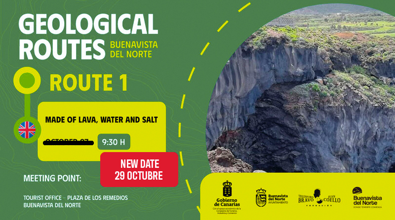
Due to the ALERT SITUATION because of the HIGH TEMPERATURES, the organisation has been forced to postpone this route. New date pending
Guided tour: Fundación Canaria Telesforo Bravo-Juan Coello.
DETAILS
Difficulty: Medium.
Duration: 3 hours and 30 minutes approx.
Linear. At the end, includes transport to return to the Plaza de Los
Remedios.
Distance: 4,88 km.
Recommendations:
- Sportswear.
- Sports shoes.
- Cap or hat.
- Walking sticks.
- Sunscreen.
- Light coat.
- Water and light food for the route.
Description of the itinerary:
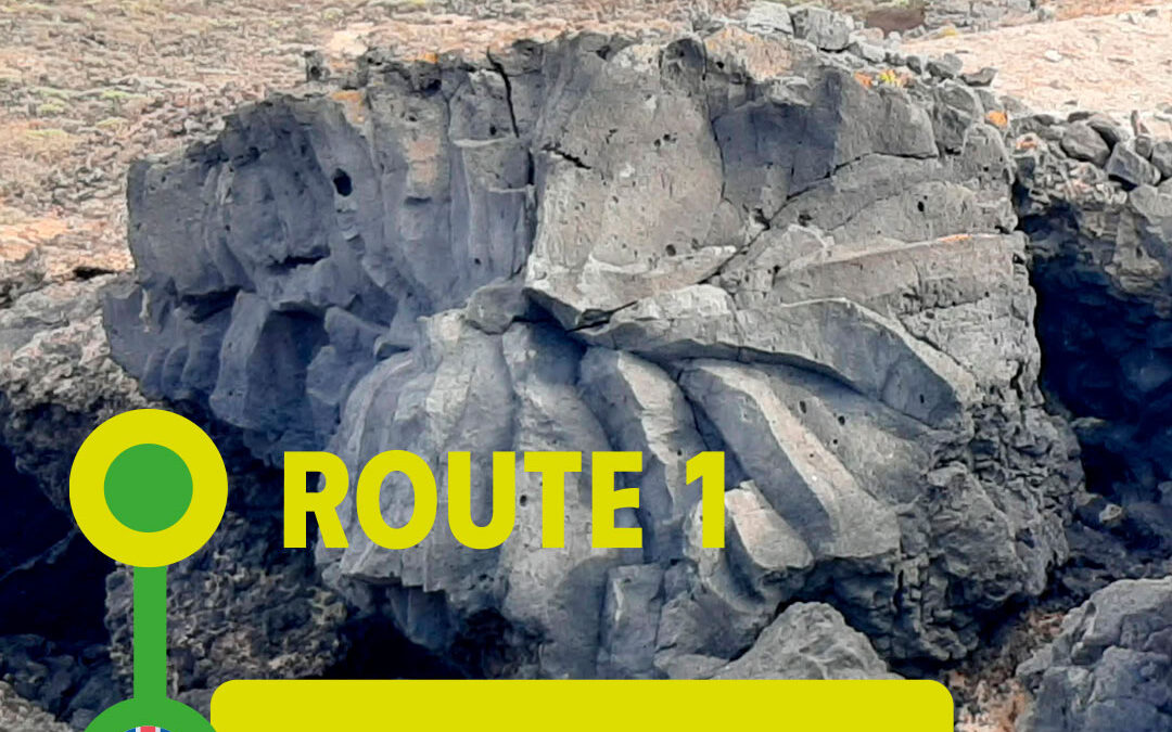
This itinerary is a representative sample of a coastal ecosystem with amazing geological values. During the route you will be able to admire characteristic elements of the coast of Buenavista del Norte: from columnar disjunctions to formations generated by the erosion of salt or stone roses. In addition to deposits caused by highly explosive eruptions and tsunami deposits generated by the gravitational landslide of La Guancha valley to Icod, or places as emblematic as the lightning, generated by sea erosion.
The following landmarks will be visited on this route:
- Stop 1. Blanca Gil Cove.
- Stop 2. Los Ruices natural swimming pool.
- Stop 3. La Viguita.
- Stop 4. Punta de las Lajas Lavic Platform.
- Stop 5. Cliffs of the Cove of Los Guinchos-Punta de las Lajas.
- Stop 6. Pyroclastic fall deposits.
- Stop 7. Buenavista´s lighthouse.
- Stop 8. Pool of El Rayo.
We invite you to take part in this initiative promoted by the tourism
department of Buenavista del Norte Town Council, with the economic
support of the Department of Tourism, Industry and Trade of the
Government of the Canary Islands and the technical coordination of the
Telesforo Bravo-Juan Coello Foundation.